Southernmost Denmark
A most delightful tour of south Falster, 34 km long. The starting point is at Lupinparken in Bøtø, in the southern part of Marielyst.
Route description
The route takes you south, through a summerhouse area and down to the Bøtø forest. Near the entrance to the forest is a lovely beach. You can either cycle or walk through the forest, which is home to wild horses and cattle. These animals maintain the area and are transforming it into a new, open forest. Keep your distance from the animals. Plenty of information on-site.
In Gedesby you can, for example, visit the small church. Refreshments can be purchased here, or visit the lovely beach.
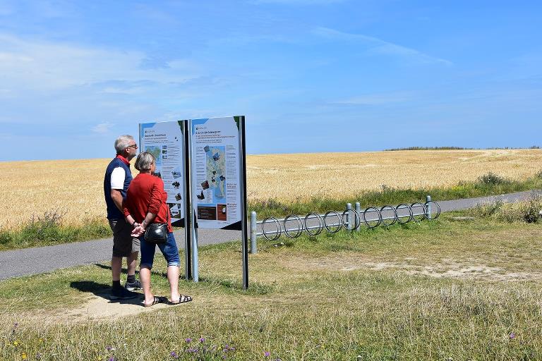
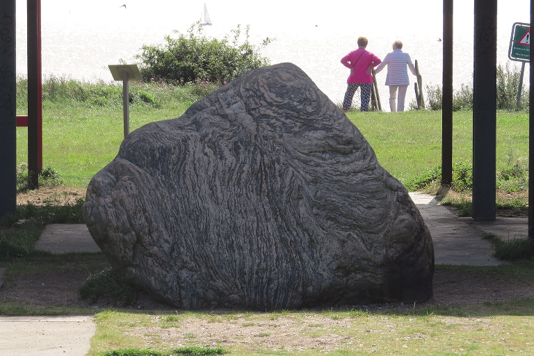
The halfway mark is at Gedser Odde, at the Marine Station. Take a seat for a rest, there is also a toilet here and a tap to fill your water bottle. Gedser Odde is Denmark’s southernmost point. The area is exposed to the wind and water, and every year the sea consumes some of the coastline. Several buildings have already disappeared, but the former Marine Station is standing its ground.
The tour continues towards Gedser. If you are interested in birdwatching, you can visit the Gedser Bird Observatory on your way. Gedser has a grocery store, places to eat out, accommodation, attractions and a lovely nature area. Further north, the tour follows the old main road, through small villages to Marrebæk, where it then crosses overland back to Lupinparken and Marielyst.
If you think the route may be too long, then it can be split over two days - a northern part of 23 km to Gedesby, and a southern part of 11 km.
Practical information
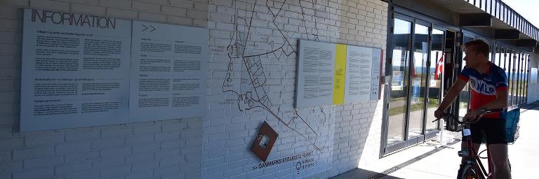
The bicycle route is signposted with blue signs - just follow the South Stone symbols: ”Sydstenen”.
Other bicycle routes you may encounter on the way are "Bicycle Fun" (417), "Naturlandet Rundt" (N), and the Danish national cycle route Copenhagen-Berlin (9).
We recommend following the route in the direction that follows the numbers on the map. The bicycle route is signposted in this direction. You will also come across a sign every time the route turns. If there isn’t a sign, then just follow the road.
Food and refreshments can be purchased in Bøtø, Gedser and Marrebæk. Fresh water is available from taps at the Marine Station, the shelter area in Gedser and Gedser marina
Public transport
The bicycle route starts at Lupinparken in Bøtø. You can get to Lupinparken with a bus, which can also carry your bicycle. Naturlandet recommends Rejseplanen for bus and train schedules.
Experiences and attractions
- Bøtø Forest: Wild Konik horses and cattle are expected to transform 150 hectares of forest to sunlit forests with open plains. You can either cycle or walk through the forest and enjoy spotting the animals. The area is also known for its many species of butterflies and unique birdlife.
- Gedesby Church: Whitewashed medieval Gothic church. Outside the church is the storm flood stone, with markings indicating the highwater level of the great storm flood of 1872.
- Gedser Lighthouse: Denmark’s southernmost still working lighthouse. It is not open to the public.
- Gedser Bird Observatory: The Danish Ornithological Organisation (DOF) rings thousands of birds at Gedser annually. Open to the public.
- Gedser Odde, Marine Station and the South Stone Denmark’s southernmost point: The Marine Station was once a military installation which monitored shipping traffic in the Baltic Sea. It now houses exhibitions.
- Gedser town: A ferry town with several attractions, including The Black Geomuseum, Gedser Engine Shed, Gedser Water Tower and the medieval Svinehave Voldsted ruins on the outskirts of the town.
- Kroghage nature area: South of the marina lies a lovely nature area with several facilities.
- Gedesby Mill: Dutch mill from 1911, offers many activities in the summer.
- Skelby-Fiskebæk: Take a detour to Skelby Beach or go for a nice walk in the Fiskebæk forest.
- Marrebæk Pumpestation: Museum, picnic shelter and toilet.
- Lupinparken: Exercise area for the whole family. Also features a nature playground, barbecue area, picnic benches and picnic shelter. A grocery store is nearby.

Gpx file
Download the gpx file for the route - the Southernmost Denmark. The file contains the route's GPS data, and can be used to transfer the route to your Garmin watch and other apps. Remember you can find the route digitally in the Naturlandet Lolland-Falster app without needing the gpx file.